
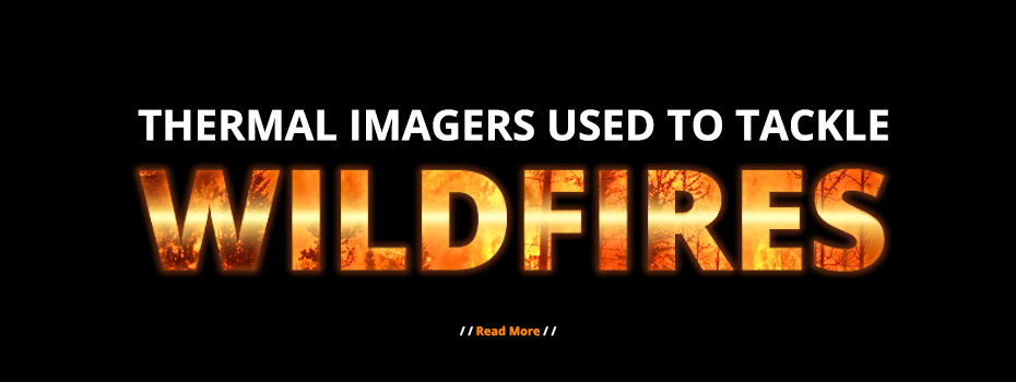
Sadly, news reports detailing the devastating effects of extreme weather are becoming more frequent. This year is no different. So far in 2023, Europe has experienced severe flooding in Italy’s Emilia-Romagna region, followed by intense heat across the Mediterranean. Predictably, extreme heat turned into devastating wildfires which led to evacuation missions across Greece, Portugal, and Italy (to name just a few countries). With experts assuring us that extreme weather will become more frequent due to climate change[1], finding methods to address or prevent its consequences, such as forest fires, is critical. For years, domestic fires have been tackled using thermal imaging technology; now, thermal cameras are preventing and stopping wildfires.
Quick Links
- How Does Thermal Imaging Work?
- Why is Thermal Imaging Useful for Tackling Wildfires?
- Are There Any Other Applications for Thermal Imaging?
- Further Information
How Does Thermal Imaging Work?
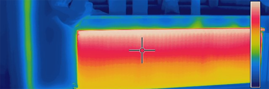
Thermal imaging cameras detect the intensity of infrared energy emitted by an object or area. This information is converted into a heat map visible to the human eye. Consequently, you can immediately see the heat distribution across a scene and instantly identify the hottest and coldest spots. Some thermal cameras will also provide an individual temperature reading for each pixel allowing you to take measurements without a thermometer.
What is Emissivity?
Emissivity is how well an object radiates heat or infrared energy. The emissivity scale runs from 0, reflects all energy, to 1, perfectly absorbs and radiates all energy. For context, human skin has a very high emissivity of about 0.98. By comparison, highly polished metallic surfaces have a very low emissivity of about 0.1 or less. It is vital to bear this in mind as highly polished metallic surfaces can often appear hotter than is the case. This is because they function like mirrors reflecting heat energy.
Why is Thermal Imaging Useful for Tackling Wildfires?
Whether placed in the hands of emergency responders, implemented as part of area monitoring, or integrated into fleets of drones, thermal imaging technology allows authorities to assess the severity and propagation of wildfires quickly. As a result, they can make informed decisions about where to deploy prevention and intervention teams.
Fighting Fires with Infrared Imaging
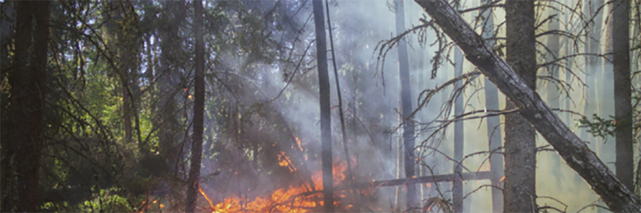
In July 2022, a forest fire began tearing through a national park on the German-Czech border. In addition to felling trees and dousing the blaze in over 100 tonnes of water, police used thermal cameras to spot pockets of embers that had the potential to ignite. This proved helpful in directing firefighting efforts, pre-empting further disaster, and avoiding fatalities. Particularly as parts of the German-Czech National Park are contaminated with Second World War ammunition liable to explode when met with heat or human contact.[2]
Emergency responders fighting woodland fires in Chester and Sherwood Forest adopted a similar approach. Last May (2022), firefighters in Chester used thermal cameras to look for hotspots in an effort to quell a:
“[L]arge, deep-seated fire covering an area of more than 600 square metres [of] woodland and undergrowth at Delamere.”[3]
Jonathon Barnett, The Standard
Then, in July 2022, the fire service responding to a blaze consuming Sherwood Pines used thermal cameras to assess whether their efforts to subdue the inferno had been successful. Using the thermal camera, they could see that all hotspots were extinguished and it was safe for them to leave the scene.[4]
Tracking Infernos Using Thermal Imaging
In addition to fighting fires, thermal imaging technology can be used to track the spread and size of infernos. This is what NASA-affiliated scientists have been doing in Rhodes. Using infrared-imaging technology, scientists Eli Orland and Tess McCabe:
“[O]bserved how the Rhodes fire spread relatively slowly at first, then picked up rapidly. Between July 21 and July 23, it underwent a six-fold increase in size, from approximately 25 to 150 square kilometres (10 to 60 square miles).”[5]
Lindsey Doermann, Earth Observatory
The World Central Kitchen is using the data and thermal images gathered by NASA-affiliated scientists to target their humanitarian efforts in Greece.[6]
Italy’s Alta Murgia Park in Puglia is also prone to wildfires. To catch infernos in their infancy and prevent blazes from engulfing the woodland, Puglia’s Regional Agency for Irrigation and Forest Activities (ARIF) has implemented a Teledyne FLIR thermal imaging monitoring system. Like in Germany and the UK, thermal technology helps staff pinpoint hotspots that may be at risk of igniting before smoke and flames are visible. As a result, teams can address these areas before foliage catches fire. Additionally, as in Greece, ARIF is using the thermal monitoring system to predict the propagation of wildfires, allowing them to direct emergency response teams effectively. [7]
Are there Any Other Applications for Thermal Imaging?
Fire prevention and firefighting are just two applications of thermal imaging. Industry sectors including emergency response, conservation, agriculture, energy management, plumbing/HVAC, and pest removal also utilise thermal cameras.
Emergency Response
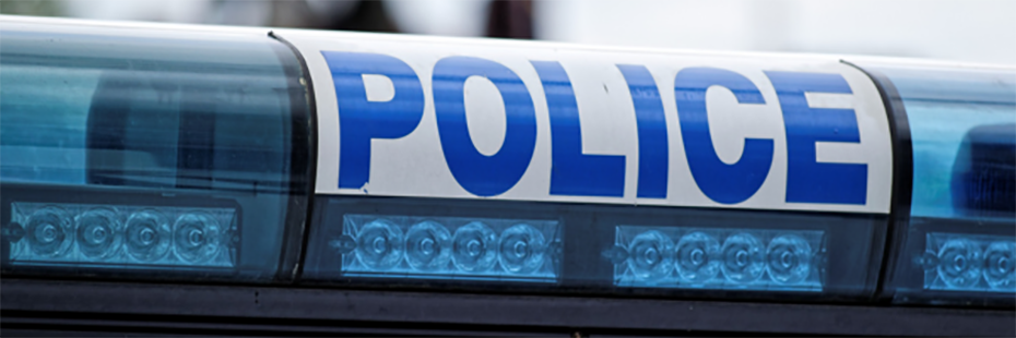
Emergency responders such as police forces and search and rescue teams use thermal technology to improve operations. For instance, police forces in the USA and UK tell of how thermal cameras have helped them to apprehend suspects efficiently and safely, as well as recover missing persons more quickly.
News Roundup: Police Use Thermal Cameras to Crack Cases & Save People
Additionally, during the COVID-19 pandemic, there were numerous examples of organisations using thermal imaging cameras as a first line of defence against the virus. Fever was a symptom of the disease; therefore, using thermal cameras to identify people with elevated skin temperature provided an effective way of identifying those who might have been infected and may need further medical checks.
Care Home Resists Coronavirus Using Hikvision Thermal Camera
The Role of Thermal Cameras After Lockdown
News Roundup: Skin-Temperature-Screening Thermal Cameras
Conservation

Currently, Penrith and District Red Squirrel Group use Hikmicro thermal monoculars to monitor the population of red squirrels in the woodlands of the Lake District.
How Thermal Imaging is Helping to Save a Species
Additionally, tree conservationists have utilised thermal technology to assess the health of trees in a bid to protect woodland.
Thermal Cameras Used to Monitor Tree Health
Agriculture
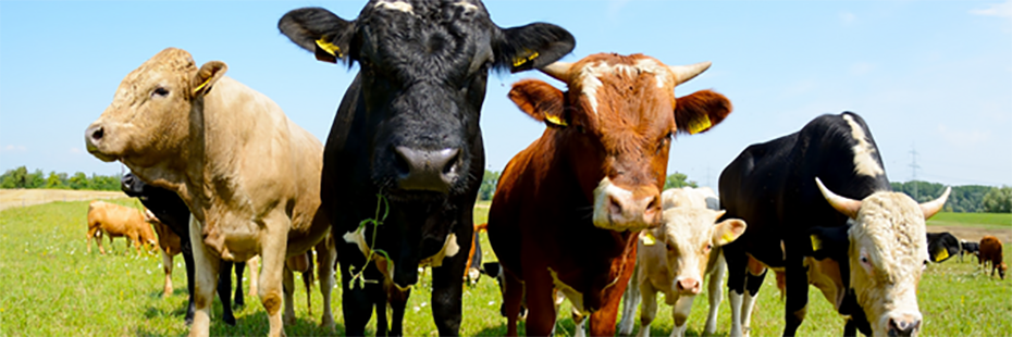
Cattle farmers have found that thermal imaging is an effective method of identifying and diagnosing the root cause of lameness, thereby improving cow welfare while reducing costs.
Catch Cattle Lameness with Economical Thermal Cameras
Meanwhile, Devonshire beef and poultry farmer, Christina Hutchings, discovered, during an investigation into barn ventilation, that thermal cameras are critical to ensuring proper insulation of broiler houses. Once again, this improves animal welfare while also increasing the economic yield of each bird.
PASS Provides FLIR Thermal Camera for Poultry Farmer’s Enlightening Barn Ventilation Report
Energy Management

During Winter 2022/23 multiple reports cited that homeowners and charities were using thermal cameras to address home insulation issues and thus reduce carbon emissions and energy bills.
Charity Uses Thermal Cameras to Reduce Property Owners’ Carbon Footprints
News Roundup: Thermal Cameras Used to Reduce Energy Bills & Carbon Footprints
How Do Green Energy Suppliers Reap Benefits from Thermal Camera Imaging?
How Do Thermal Cameras Help You Save on Your Energy Bills?
Winter Is Coming: Prepare Your Home for the Long Nights Using Teledyne FLIR Thermal Cameras
PASS Proudly Provides FLIR Thermal Cameras for Octopus Energy Home Efficiency Surveys
Plumbing & HVAC
Plumbers, HVAC technicians, and heating engineers can also reap the benefits of thermal imaging as thermal cameras provide a fast and straightforward method of identifying damp, water damage, radiator blockages, and leaking pipes.
Five Reasons Plumbers & Heating Engineers Need a Thermal Camera
Pest Removal
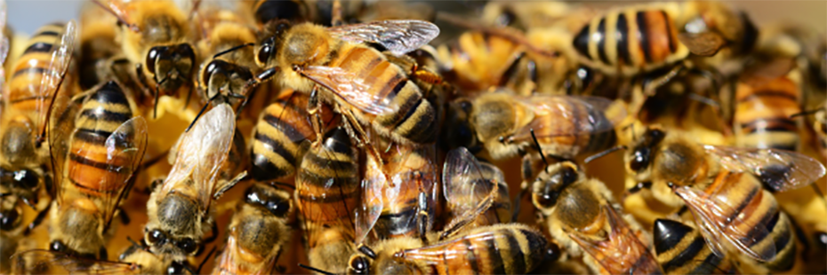
Recently we, PASS Ltd, partnered with bee enthusiast and pest control expert Sean Mooney to demonstrate how thermal cameras, such as the Teledyne FLIR C5, can aid in the safe, efficient, and cost-effective removal of hidden beehives.
Bee Removal Using a Teledyne FLIR C5 Thermal Camera: Revolutionising Pest Control
Bee Removal: 5 Things You Need to Know About Using Thermal Imaging for Pest Control
Further Information
You can find all our articles and announcements regarding the latest thermal imaging applications, news, and deals here.
For additional help or advice regarding any of our thermal imaging cameras, including Teledyne FLIR and Hikmicro models, please don’t hesitate to contact our Sales team on 01642 931 329 or via our online form.
In the meantime, you can browse all our thermal camera models here.
[1] There is some debate as to climate change's impact on Italy's May 2023 floods. One study by the World Weather Attribution suggests that climate change did not have a significant influence. For further information, please see the links below.
- Sam Ezra Fraser-Baxter, ‘Italy’s deadly floods can’t be blamed on climate change, finds study’, Imperial College London, last accessed 10 August 2023
- Orla Dwyer, ‘Climate change had no ‘significant’ impact on northern Italy floods in May 2023’, Carbon Brief, last accessed 10 August 2023
[2] Andy Gregory, ‘Hundreds evacuated as wildfire ravages national park on German-Czech border’, The Independent, last accessed 10 August 2023
[3] Jonathon Barnett, ‘Chester: Firefighters called to large fire in woodland’, The Standard, last accessed 10 August 2023
[4] BBC News, Sherwood Pines: Crews tackle huge forest blaze, last accessed 10 August 2023
[5] Lindsey Doermann, ‘Fires Ignite on Greek Islands’, Earth Observatory, last accessed 10 August 2023
[6] Lindsey Doermann, ‘Fires Ignite on Greek Islands’
[7] Teledyne FLIR, FLIR Helps Prevent Forest Fires in Southern Italy, last accessed 10 August 2023